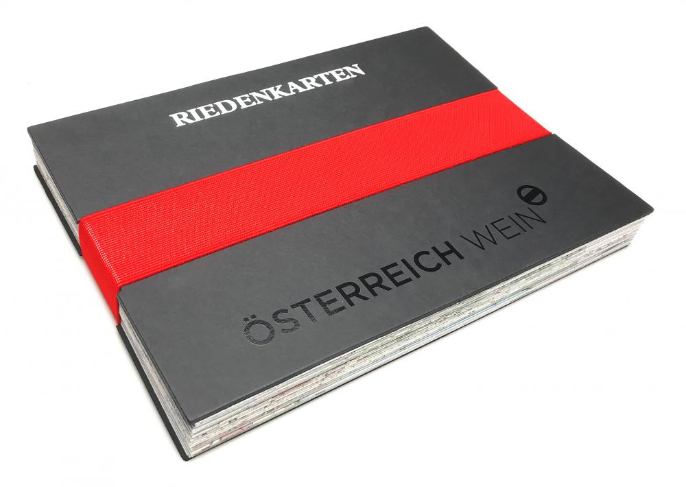
Set Vineyard maps Austria

Explore the origin with Austria’s vineyard maps!
A wine’s origin is of utmost importance in the wine industry. It is a crucial part of its quality and in general one connects the origin closely with a wine’s terroir. The narrower and more specific the origin, the higher the quality that can be ascribed to the wine.
Now, new single vineyard maps of all wine-growing regions are available in printed form, showing all single vineyards, in Austria called “Rieds” that have been legally defined as such. The level of detail and cartographic standards also represent a milestone for the Austrian wine industry.
With the compact vineyard map set, you always have all available vineyard maps to hand, including clear information on the hierarchy of Austrian wine origins.
Set packaging:
- Format: 216 x 303 mm
- Material: cardboard, elastic band
Maps included (all foldable on A4):
- Carnuntum (840 x 445,5 mm)
- Eisenberg East (420 x 792 mm)
- Eisenberg West (420 x 990 mm)
- Kamptal (525 x 445,5 mm)
- Kremstal (525 x 445,5 mm)
- Leithaberg & Rust (840 x 594 mm)
- Mittelburgenland (525 x 742,5 mm)
- Neusiedlersee (735 x 1039,5 mm)
- Rosalia (630 x 495 mm)
- Thermenregion (735 x 891 mm)
- Traisental (840 x 445,5 mm)
- Wachau (630 x 445,5 mm)
- Wagram North (630 x 445,5 mm)
- Wagram South (840 x 445,5 mm)
- Weinviertel Northeast (1050 x 693 mm)
- Weinviertel Southeast (1050 x 693 mm)
- Weinviertel West (735 x 1039,5 mm)
- Wien (630 x 693 mm)
- Vulkanland Steiermark North (840 x 693 mm)
- Vulkanland Steiermark South (840 x 693 mm)
- Südsteiermark (630 x 742,5 mm)
- Weststeiermark (525 x 891 mm)
Prices are displayed for B2C customers! To see the B2B prices, please register.
| Material | Cardboard, elastic band |
| Category | Maps |
| Topics | Wine-growing regions |
| Format | 216 x 303 mm |


